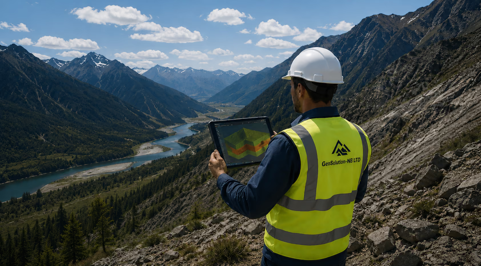
Hero ImageHero Profile Image

Your Partner for Complex Geo-Engineering Challenges

From international mega-projects to local infrastructure, we deliver high-precision data and A-Level licensed supervision to ensure the safety and success of every construction.

Practical Geoscience Solutions for Complex Challenges

GeoSolution-NB LTD brings hands-on experience and data - driven insights to every stage of your project. We cover the full spectrum of geosciences — from initial desk studies and geohazard assessments to site investigations, laboratory testing, and applied geology.

At GeoSolution-NB, we believe that a thorough understanding of geosciences issues is essential for the success of any project. Whether you require short-term technical support for fieldwork or comprehensive consulting for long-term projects, our team of geologists and geotechnical engineers is ready to resolve your most difficult challenges.

Nikola Bogatinovski

Specialised Geoscience Consultant in Macedonia and South East Europe

With extensive experience, I deliver data-driven solutions that empower investors, municipalities, and mining companies to effectively navigate the complex landscape of Macedonia and the surrounding region. By bridging international experience with local standards, I ensure project safety and sustainability

Credentials & Compliance

  • Chartered Geologist: License for the preparation of geological documentation, performance and supervision of geological explorations
  • Certified Engineer: Member of the Chamber of Certified Architects and Engineers (KOAI) with A-Level Licenses for Design, Revision, and Supervision
  • Professional Societies: Active member of the Macedonian Geological Society (MGD) and the Macedonian Association for Geotechnics
  • Standards: All operations follow Eurocode 7 and local regulatory frameworks for seamless state submittal.
Nikola Bogatinovski Profile Picture
We focus on precise site characterization to reduce risk and eliminate delays

Geological Mapping: Detailed surface and underground mapping in mining conditions, galleries, and tunnels

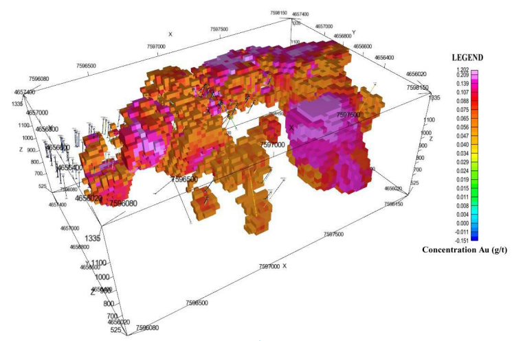
Mineral Exploration: Locating and evaluating deposits using state-of-the-art 2D and 3D modeling

Seismic & Stratigraphic Solutions: Data interpretation for construction and mining

Engineering Geological Models: We develop specialized models for every project phase:

  • Conceptual Geological Models
  • Initial Engineering Geology
  • Detailed Engineering Geology
  • Geotechnical & Analytical Models
  • Hydrogeological Models
We analyze soil and rock behavior in-situ to ensure the feasibility and safety of bridges, tunnels, foundations, etc.

Site Investigations: Advanced drilling methods and comprehensive material sampling

Foundation & Structural Design: 
Analysis for retaining walls, tunnels, and complex foundations

Slope Stability: Safety investigations for natural and constructed slopes, analyses and technical solutions

Mining Infrastructure: 
Analysis, ground support design and subsidence risk assessments

Technical support for construction, mining, and energy sectors to protect and manage groundwater resources

Resource Evaluation: Characterizing aquifers for industrial or individual water supply

Flow & Quality Modeling: Advanced chemical analysis and groundwater flow simulations

Regulatory Support: Designing monitoring programs and protection zones for spring water supply in compliance with national registries. Preparation of technical documentation to obtain a permit for groundwater use for industrial or individual water supply

Well Services: Technical support for well design, installation of well casing, testing and, and decommissioning

Geology & Geohazard Assessment
Geotechnical Engineering
Hydrogeology & Water Management

Our on-site teams ensure high-quality data is obtained safely and efficiently

icon 1

Exploration drilling and supervision

Conducting exploration drilling and providing expert supervision across a wide range of drilling methods
Icon drill core logging

Professional Logging

Geological: Rock type, mineralogy, and alteration.
Geotechnical: Engineering properties (RQD, fracture frequency, hardness).
Structural: Orientation of structures like bedding, veins, faults, and joints.
Geochemical: Precise sampling for elemental lab analysis.
icon 3

In-situ Testing

Expert instrument installation and real-time data monitoring

We utilize industry-leading software to deliver high-precision models and automated reporting

Geotechnical Analysis

PLAXIS (Bentley) for complex finite element modeling (FEM) and Rocscience (Slide/Settle) for rapid slope stability and settlement checks

3D Geological Modeling

Leapfrog Geo (Seequent) for dynamic implicit modeling and ArcGIS for integrated multidisciplinary 3D earth models

Hydrogeological Modeling

Visual MODFLOW Flex and FEFLOW for advanced groundwater flow and contaminant transport simulations

GIS & Data Management

ArcGISfor spatial data integration and OpenGround (Bentley) for cloud-based borehole data management
Coire Glas (UK)
Type & Scope:
1.2km Exploratory Tunnel & Underground Caverns
Technical Contribution:
Tunnel support design, rock quality assessment, and geological testing
See More
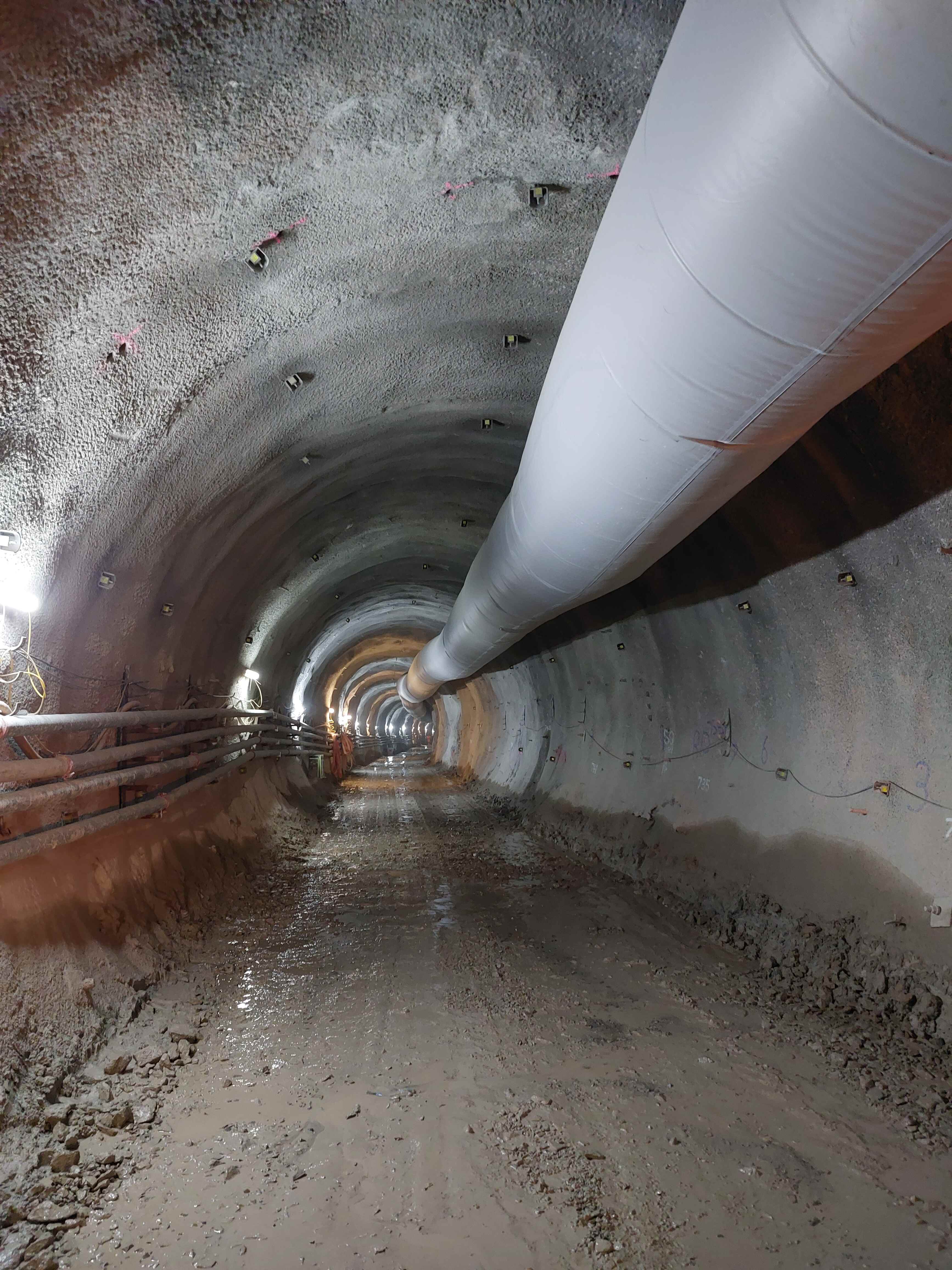
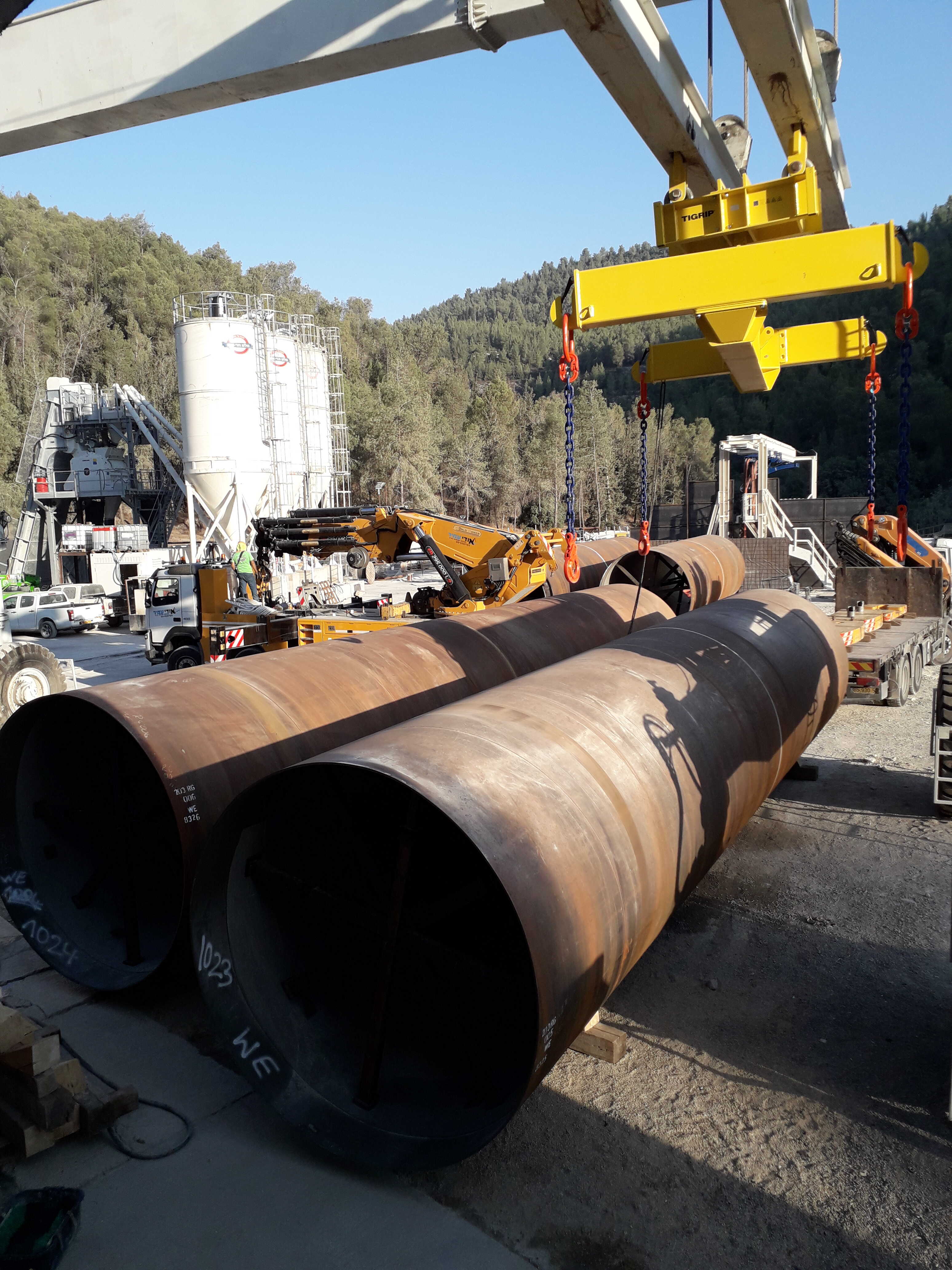
5th Waterline to Jerusalem
Type & Scope:
13km TBM Tunnel with Steel Lining
Technical Contribution:
Subsurface data interpretation, TBM support design, and steel lining oversight
See More
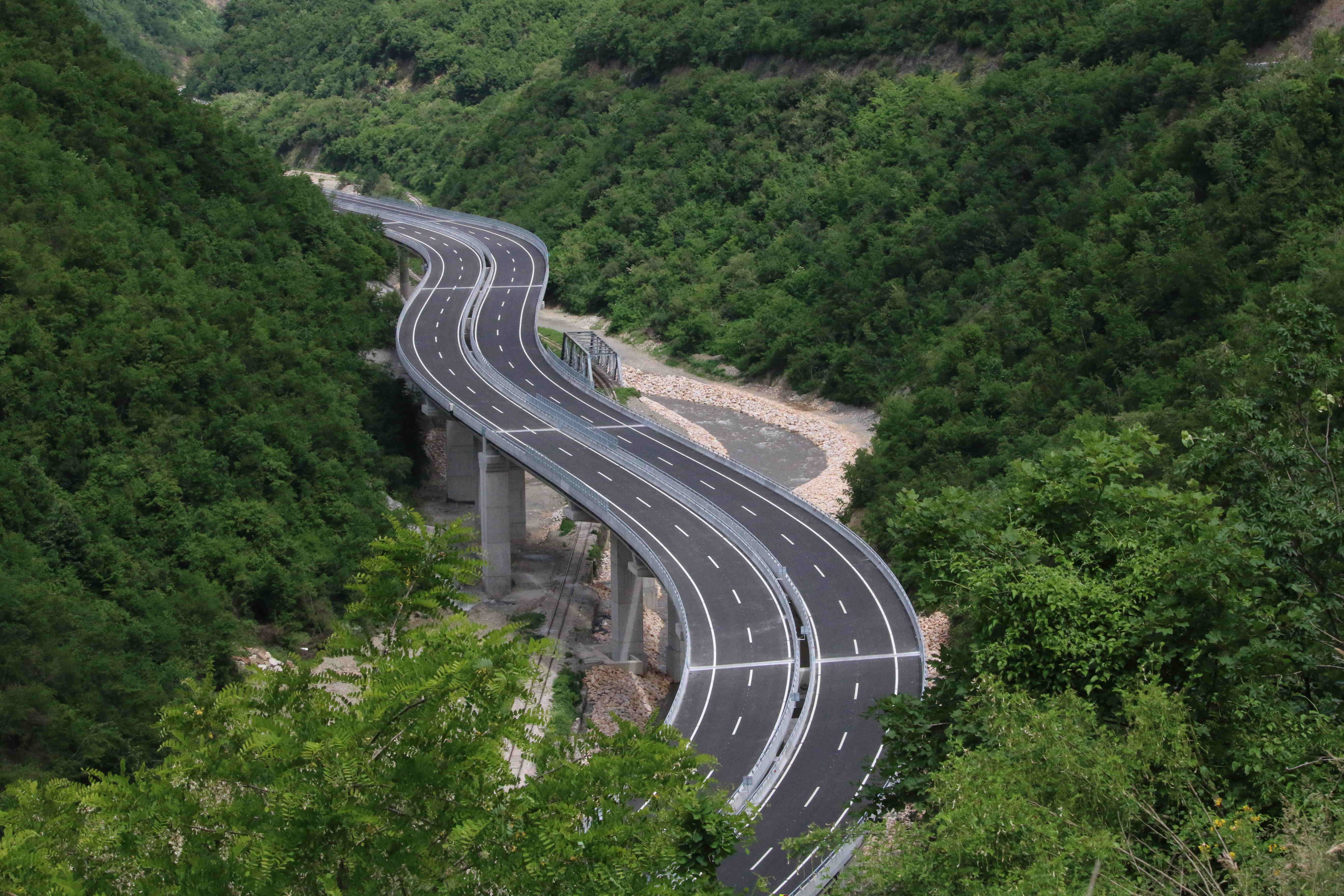
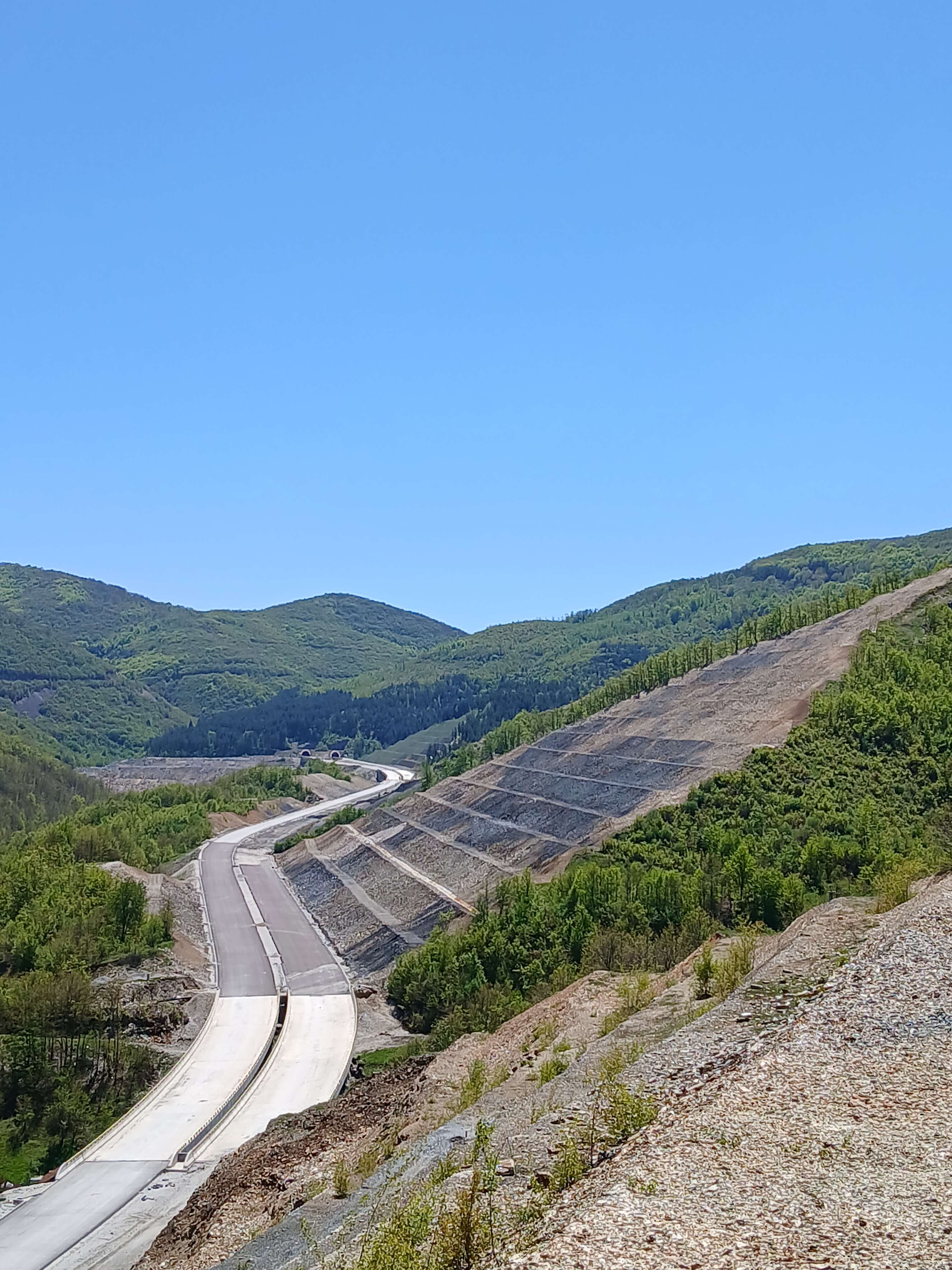
Prishtina motorway
Type & Scope:
65km Route 6 EPC Motorway Project
Technical Contribution:
Geotechnical design for slope stability and major bridge foundation assessments
See More
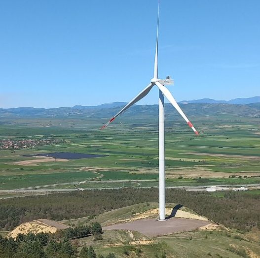
Bogdanci Wind park
Type & Scope:
Wind turbine Foundation
Technical Contribution:
Specialized geotechnical analysis for wind turbine foundations under local seismic standards
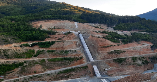
Koridor Kicevo Ohrid
Type & Scope:
57km Motorway & Tunnel Double Road Preseka
Technical Contribution:
Detailed geotechnical supervision, seismic stability analysis, and tunnel design
See More
Konjsko Dam
Type & Scope:
Hydro-storage scheme (dam)
Technical Contribution:
Specialized geotechnical analysis for dam foundations under local seismic standards
See More
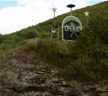
Zletovo Mine
Type & Scope:
Lead/Zinc Resource Exploration
Technical Contribution:
Mineralexploration, ore deposit assessment and advanced 2D/3D subsurface modelling
See More
Plavica project
Type & Scope:
Copper, Gold, Silver, Lead, & Zinc
Technical Contribution:
Management of field activities, including exploratory drilling, mapping, testing, and advanced 2D and 3D modelling
See More
Coire Glas Pumped Hydro (UK)
5th Waterline to Jerusalem (Israel)
Pristina-Hani i Elezit Motorway (Kosovo)
Bogdanci Wind Park extension
Corridor 8: Kicevo – Ohrid
Konsko Dam
Zletovo & Sasa Mines
Plavica Exploration

We bridge the gap between complex geological challenges and practical engineeringsolutions.
Our clients choose us for four key reasons:

International Expertise, Local Insight

Experience from high-profile global projects applied to the North Macedonian and Balkan markets.

Comprehensive "A-Level" Licensing

Nikola Bogatinovski holds the necessary A - Level licenses, ensuring all project documentation is legally compliant for state submittal.

Advanced 3D Modeling & Technical Stack

We use industry-leading software (Leapfrog, Plaxis, GIS) to reduce uncertainty and prevent costly delays.

Commitment to Sustainability & Standards

All work adheres to Eurocode 7 andlocal environmental regulations, optimized for the unique seismic conditions of ourregion.
Ready to discuss your next project in Macedonia or beyond?
icon location

OFFICE ADDRESS

Jane Sandanski 9 local 9
Aerodrom, 1000 Skopje
icon phone

PHONE NUMBER

 +389 77 545 078
icon email

E-MAIL

geosolutionnb@gmail.com
icon hours

BUSINESS HOURS

Monday – Friday
08:00 – 16:00 (CET)